Traceability of every data point
Every record carries a date, location, person in charge and method. In compensation, each unit keeps its batch, coordinate, time, condition and destination.


High-Andean ecosystems
Diagnosis, restoration, compensation, monitoring, GIS and supervision for projects in high-Andean ecosystems. Bofedales (high-Andean peatlands) and wetlands are our specialty, with traceability for every data point.

Service index
Each service explains what it is, when your project needs it, what Laguitos Perú delivers and how we work.
High-Andean ecosystems
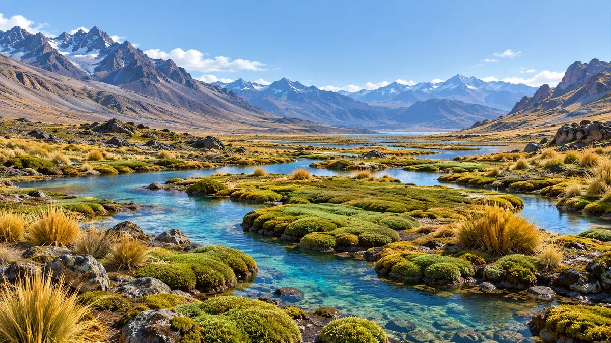
A high-Andean valley: the lagoon and wetlands on the valley floor, puna grassland on the slopes, and rock and snow above. We work across that whole gradient.
Service cycle
Press each stage to see what it includes and which service it leads to. A project may need one or several stages.
Before intervening, the area is surveyed and its vegetation validated. It is the basis for deciding where, what and how to intervene.
Includes aerial photography and GIS to delineate bofedales, wetlands and priority species.
The drone orthophoto is used at 1:1000 scale in UTM-WGS84 coordinates, with geodatabase and delivery in GeoJSON.
Routes, access points, channels and work fronts are located, and the impact and compensation areas are delineated.
Plant species and vegetation-soil-root units are rescued and transplanted, with the recipient area prepared.
Each unit is transferred with origin-to-destination traceability, and the initial restoration management is carried out.
We measure vegetation, hydrology, soil and fauna after intervening, to see the result.
Every data point is recorded with date, location, person in charge and method, and it helps adjust management.
We control work fronts in fragile ecosystems, with the IPERC, the ATS and the PPE reviewed before each front.
We record non-conformities and the actions taken, and deliver field supervision reports.
High-Andean ecosystems · 01

Field surveys, botanical validation, aerial photography and GIS to delineate peatlands, wetlands and priority species. It is the basis for deciding where, what and how to intervene.
Specialty: bofedales
In bofedales, the diagnosis delineates the ecosystem and its priority species before deciding the intervention.
High-Andean ecosystems · 02
Rescue and transplanting of plant species, site conditioning and management measures to support their recovery. According to the Society for Ecological Restoration (SER, 2004), ecological restoration is the process of assisting the recovery of an ecosystem that has been degraded, damaged, or destroyed.
Specialty: bofedales
In a peatland, saturation, flow and connectivity determine whether a restoration will work. That is why water is verified before, during and after any intervention.
High-Andean ecosystems · 03
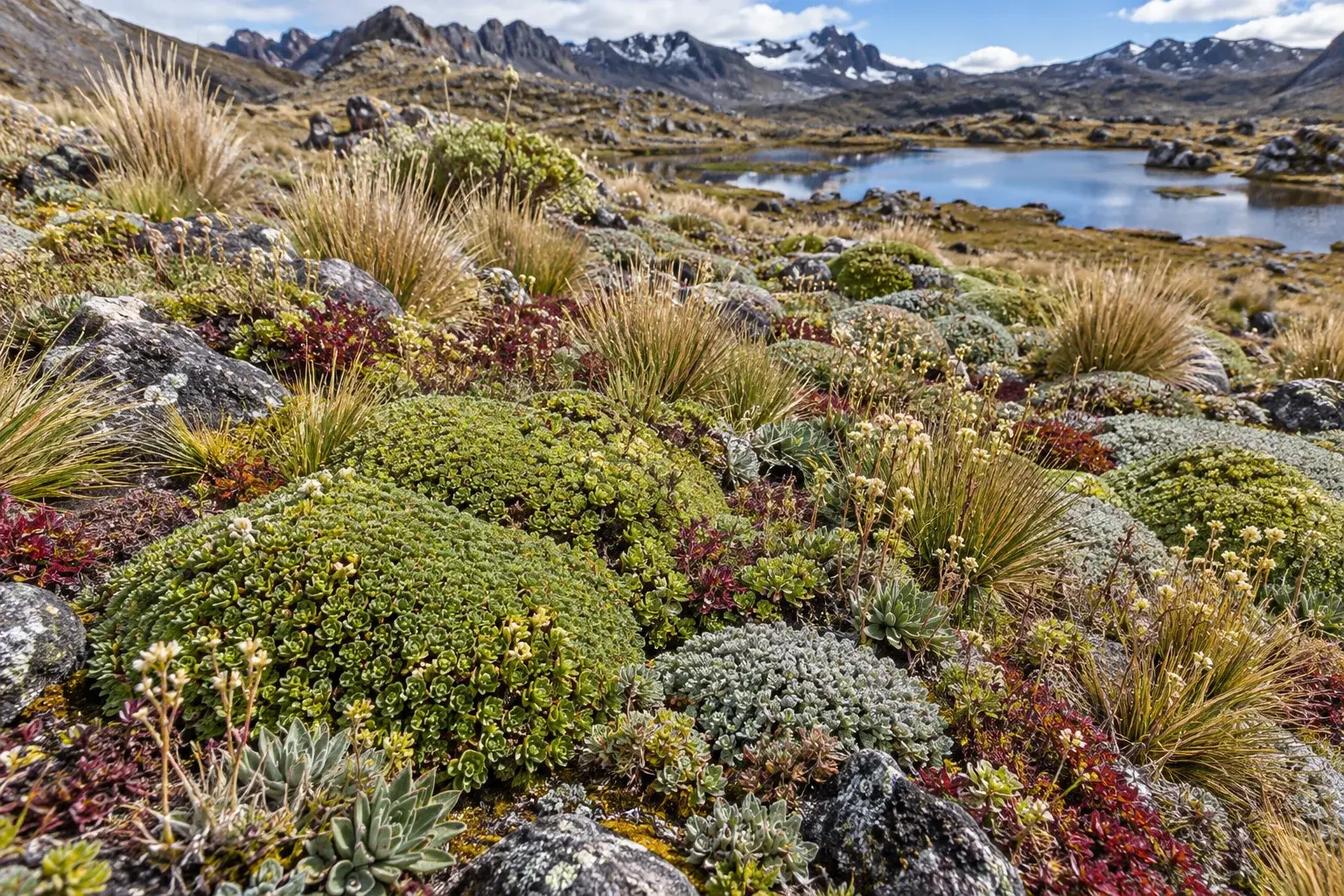
Transfer of vegetation-soil-root units from the impact area to the recipient area, with origin-to-destination traceability. Each unit keeps its live cover, active roots and associated substrate.
Specialty: bofedales
We work in high-Andean bofedales and wetlands: each relocated unit keeps its live cover, active roots and substrate, and the result is verified through monitoring.
Operating rule: extraction does not begin if the recipient area is not available, so that the units do not lose moisture or integrity.
High-Andean ecosystems · 04
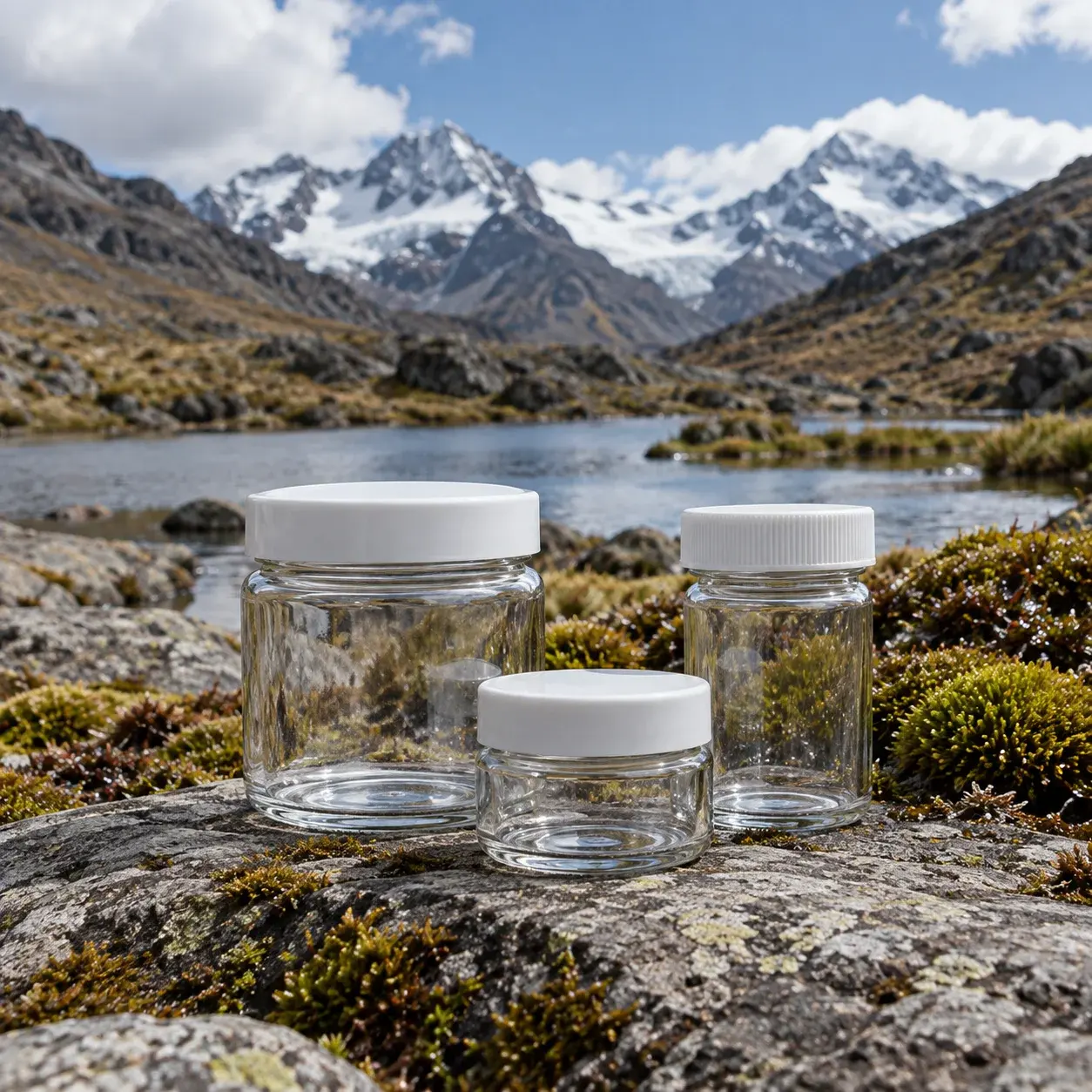
Monitoring of vegetation, hydrology, soil and fauna after intervening. Every data point is recorded with date, location, person in charge and method.
Specialty: bofedales
The bofedal has low resilience: its recovery is slow and it must be monitored. That is why indicators are compared over time series.
High-Andean ecosystems · 05
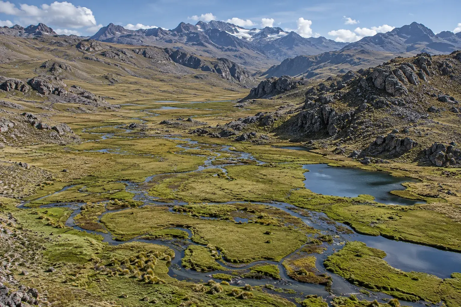
1:1000 scale maps based on drone orthophotos, with UTM vertices, geodatabase and delivery in GeoJSON.
Specialty: bofedales
The working cartographic base is a drone orthophoto at 1:1000 scale, in UTM-WGS84 coordinates.
High-Andean ecosystems · 06
Control of work fronts in fragile ecosystems, with IPERC (hazard identification, risk assessment and controls), ATS (job safety analysis) and PPE (personal protective equipment).
Specialty: bofedales
The bofedal is a fragile ecosystem. Before each front, the IPERC, the ATS and the PPE are reviewed.

Water, soil and life: an ecosystem that recovers slowly.
That is why every intervention is designed, recorded and monitored with traceable data.
Our approach
Four traits we apply in every environmental service.
Every record carries a date, location, person in charge and method. In compensation, each unit keeps its batch, coordinate, time, condition and destination.
1:1000 scale maps based on drone orthophotos, with UTM vertices, geodatabase and delivery in GeoJSON.
Field surveys, botanical validation and soil pH and moisture measurement, with the same team that reviews each work front.
If the area has bofedales and also cultural heritage, we coordinate the studies of both lines. What lives and what the soil keeps is handled by one team.
Frequently asked questions
Brief answers about the scope of the services, bofedal compensation and quotes, with the documented figures of the case.
No. The services on this page apply to projects in high-Andean ecosystems in general. Bofedales and wetlands are our specialty.
It is the transfer of vegetation-soil-root units from the impact area to a recipient area, with origin-to-destination traceability. It seeks a net-zero loss balance: the gain in the recipient area must equal or exceed the residual loss in the impact area.
In the mining sector, Decreto Supremo N.° 040-2014-EM (Supreme Decree, art. 51) requires a compensation plan to be included in the environmental study when bofedales are affected and effective prevention, correction, mitigation, recovery or restoration measures cannot be adopted. Resolución Ministerial N.° 00421-2024-MINAM (Ministerial Resolution) approved the Guide for environmental compensation within the SEIA.
Ley N.° 28611, Ley General del Ambiente (General Environmental Law, art. 99.2), includes bofedales among fragile ecosystems. In addition, the bofedal has low resilience: its recovery is slow and it must be monitored.
It controls work fronts in fragile ecosystems. Before each front, the IPERC (hazard identification, risk assessment and controls), the ATS (job safety analysis), personal protective equipment (PPE), tools, route, weather conditions and the delineated area are reviewed.
Message us on WhatsApp or at administracion@laguitosperu.com, or use the contact form. Tell us the stage and location of your project, and we will propose the study route and the team to carry it out.
Contact
Tell us the stage and the location. We will propose the study route and the team to carry it out.