







Arqueología del Perú
What the territory keeps Archaeological studies before Peru's Ministry of Culture and high-Andean ecosystem restoration.
Line 01 · Cultural heritage
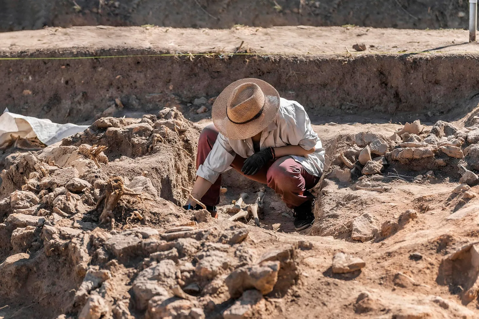
What the ground holds
Archaeology and paleontology services for mining, construction and infrastructure projects.
- DAS
- CIRAS
- PEA
- PMAR
- PRA
Line 02 · High-Andean ecosystems
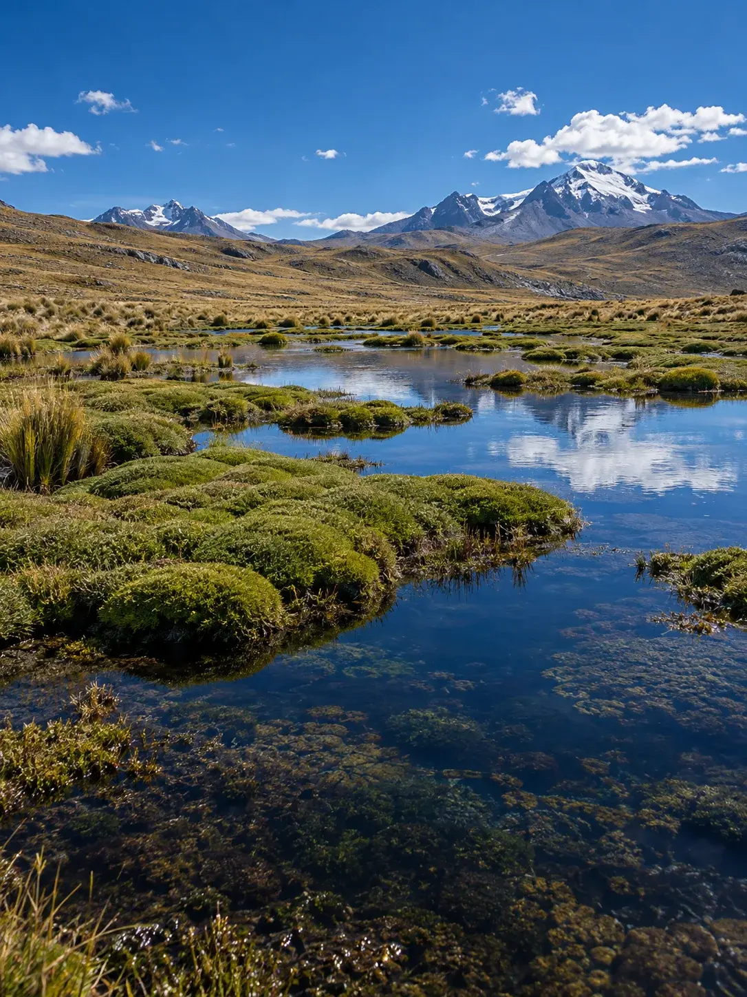
What holds the water
Diagnosis, restoration, compensation and monitoring of high-Andean ecosystems: puna, wetlands and bofedales (high-Andean peatlands).
- Rescue
- Transplant
- Monitoring
- GIS
Certified integrated system
View certifications
- ISO 9001
- ISO 14001
- ISO 45001
- ISO 37001
- ISO/IEC 27001
- 30+ yearsof experience in managing cultural, archaeological and paleontological heritage
- 5 ISO standardsplus Bureau Veritas & SGS supplier homologation
- 26alliances with private companies and public institutions
- 1:1000working cartography based on drone orthophotos
Services
Twelve services, two lines of work
Each service with its full name, the moment your project needs it and what you receive at the end. Open each one to see the process, requirements and legal basis.
Line 01 · Cultural heritage
What the ground holds
Archaeology and paleontology services for mining, construction and infrastructure projects. Studies, certifications and plans for Peru's Ministry of Culture, so that projects can advance with legal certainty.
- DAS
- CIRAS
- PEA
- PMAR
- PRA
-
Archaeological Surface Diagnosis
Determines the archaeological potential of an area before operations begin.
DAS Specialized Digital Platform- When
- When assessing a site or before design.
- What you receive
- A technical report with the diagnostic results, signed by a registered and licensed archaeologist.
-
Certificate of Non-Existence of Archaeological Remains on the Surface
Official document confirming that the area shows no visible archaeological remains on the surface.
P02DGPA · 20 business days (TUPA)- When
- Before carrying out works or activities on the property.
- What you receive
- The CIRAS file and support throughout the procedure until the Ministry of Culture issues the certificate.
-
Archaeological Evaluation Project
Survey and limited excavation to determine the presence of pre-Hispanic, mixed or isolated archaeological assets.
P06DGPA · 30 business days (TUPA)- When
- When there are signs of remains or the subsoil must be assessed.
- What you receive
- A report on the presence of pre-Hispanic archaeological assets and isolated elements in the area evaluated.
-
Archaeological Monitoring Plan
Measures to prevent, control and mitigate impacts on pre-Hispanic, historical or paleontological remains.
P01DGPA · 10 business days (TUPA)- When
- During works involving soil removal.
- What you receive
- Management of the authorization up to the Ministry of Culture's Directoral Resolution, and the plan with the prevention, control and mitigation measures.
-
Archaeological Rescue Project
Excavation to recover and record archaeological material wherever an activity will take place.
P07DGPA · 30 business days (TUPA)- When
- When works will affect an area with archaeological evidence.
- What you receive
- The recovery and recording of the archaeological material from the area.
-
Archaeological baseline survey
Archaeological reconnaissance for baseline: field prospection and historical analysis that identify the cultural heritage of the project area.
- When
- In environmental studies, to avoid work stoppages due to unforeseen finds.
- What you receive
- An archaeological baseline survey report for the project area.
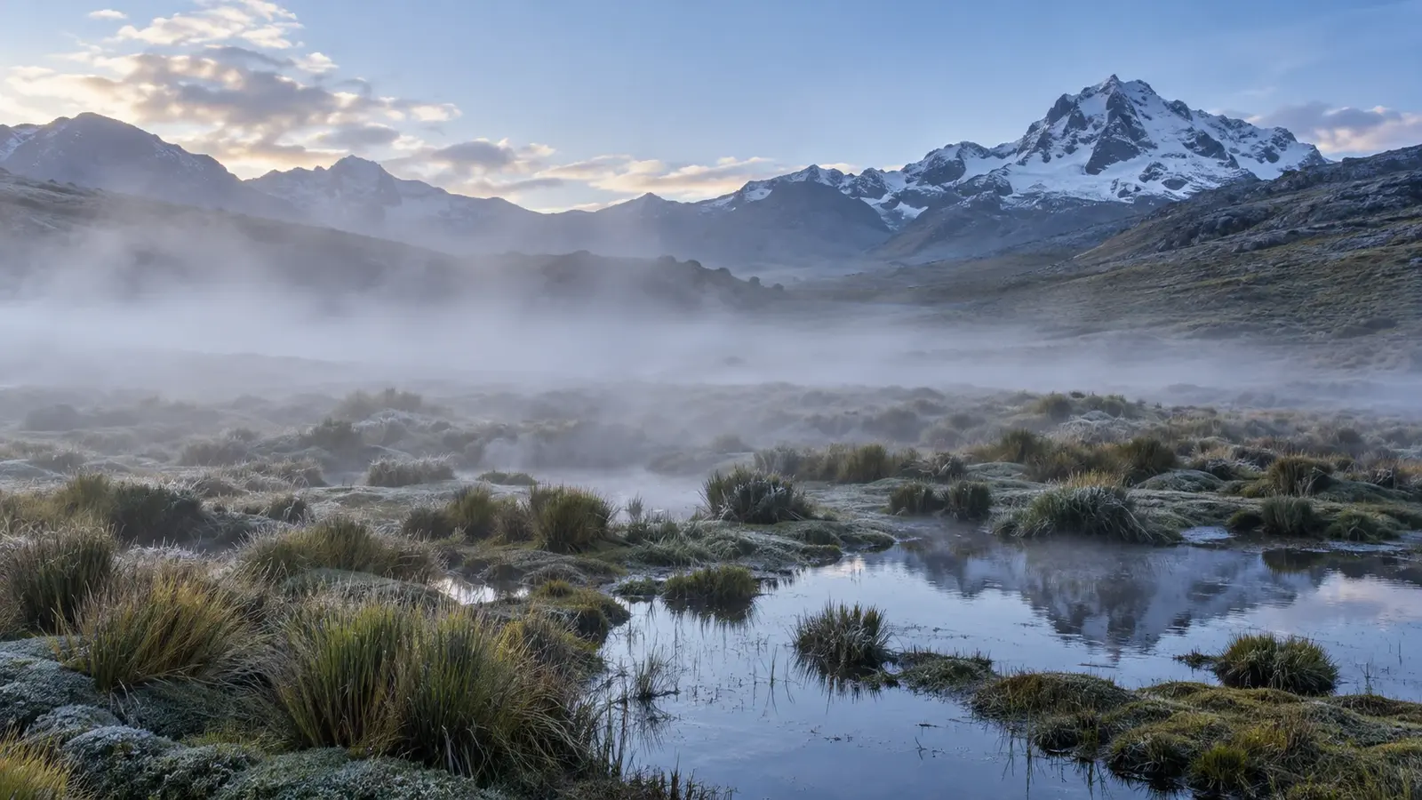
Line 02 · High-Andean ecosystems
What holds the water
Diagnosis, restoration, compensation and monitoring of high-Andean ecosystems: puna, wetlands and bofedales (high-Andean peatlands). Environmental engineering, biodiversity and GIS applied to high-Andean peatlands and wetlands.
- Rescue
- Transplant
- Monitoring
- GIS
-
Environmental diagnosis and biological baseline
Field surveys, botanical validation, aerial photography and GIS to delineate peatlands and priority species.
- When
- Before intervening in a high-Andean ecosystem.
- What you receive
- The delimitation of bofedales and priority species.
-
Ecosystem restoration
Rescue and transplanting of plant species, site conditioning and management measures to support their recovery.
- When
- In disturbed or degraded areas.
- What you receive
- Rescue and transplanting of plant species.
-
Environmental offsetting
Transfer of vegetation-soil-root units from the impact area to the recipient area, with origin-to-destination traceability.
- When
- When the project affects a peatland and must compensate for it.
- What you receive
- A compensation plan with the impact area, the receiving area and the selected units.
-
Environmental and biodiversity monitoring
Vegetation, hydrology, soil and fauna: every data point with date, location, person in charge and method.
- When
- After works, to measure results.
- What you receive
- Indicators of vegetation, hydrology, soil and fauna.
-
GIS and environmental mapping
1:1000 maps from drone orthophotos, UTM vertices, geodatabase and delivery in GeoJSON.
- When
- At every stage: delineate, plan and audit.
- What you receive
- Maps of delimitation of impact areas and compensation areas.
-
Field environmental supervision
Control of work fronts in fragile ecosystems, with IPERC, job safety analysis (ATS) and PPE.
- When
- During works.
- What you receive
- Control of work fronts with IPERC and ATS.
Other services
- Rental of 4×4 pickup trucks equipped for mining
- Restoration of archaeological monuments
- Restoration and conservation of cultural property
- Delineation of archaeological sites and signage
- Analysis of archaeological material
- Archaeological advisory and anthropological studies
Your project roadmap
Answer three questions and see which studies apply
An indicative guide to reach the first meeting with a clear picture. Send it via WhatsApp and we will reply about your case.
Suggested route
Indicative route. The exact scope depends on current regulations and site conditions, and we will confirm it with you before quoting.
Projects
Projects that move earth or affect high-Andean ecosystems
We support public and private project holders from the land assessment to monitoring. These are the most common project types and the studies they usually involve.
Mining
Frequent studiesArchaeological baseline, CIRAS or DAS, PEA and PMAR; environmental diagnosis, offsetting and monitoring.
Roads
Frequent studiesDAS or CIRAS before design; PMAR during the works; PRA if an archaeological asset cannot be avoided.
Energy and transmission lines
Frequent studiesDAS or CIRAS for the route; PMAR during installation.
Drinking water and sanitation
Frequent studiesDAS or CIRAS for the area; PMAR in trenches and networks.
Buildings and land titling
Frequent studiesDAS or CIRAS for the property; PMAR if soil is removed.
Alliances
Alliances that back our work
Private companies and public institutions with which Laguitos Perú has alliances in Peru.
Private sector
Public sector
Compliance & assurance
ISO certifications & supplier homologation
Certified integrated management system and supplier homologation for mining, energy and infrastructure.
-
9001:2015
 ISO
Quality Management
Quality control from planning to final delivery.
-
14001:2015
ISO
Environmental Management
Sustainable operations and field environmental control.
-
45001:2018
ISO
Occupational Health & Safety
Risk prevention and HSEC protocols on site.
-
37001:2016
ISO
Anti-Bribery Management
Transparency, ethics and anti-corruption compliance.
-
27001:2022
ISO/IEC
Information Security
Protection of GIS maps, dossiers and project data.
Supplier homologation
Audited by leading certifying bodies
Audited quality, HSEC and compliance for mining and infrastructure.
 Bureau Veritas
Supplier homologation
 SGS
Supplier homologation
Need ISO certificates, homologations or our dossier for procurement?
Request dossier & certificatesThe territory
Where we work: the high Andes of Peru
Lagoons, bofedales (high-Andean peatlands), puna grasslands and ravines: the landscapes where archaeology and ecology meet.
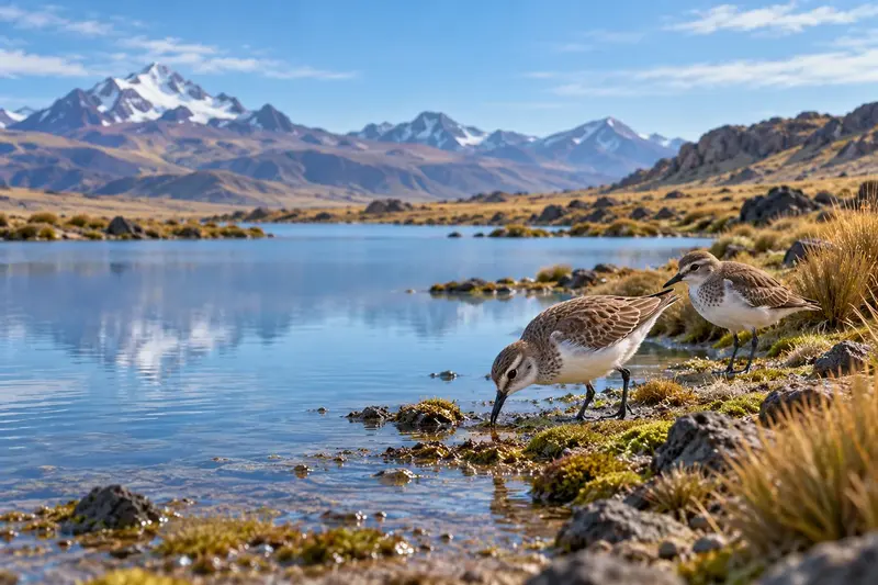
Birds at the lagoon 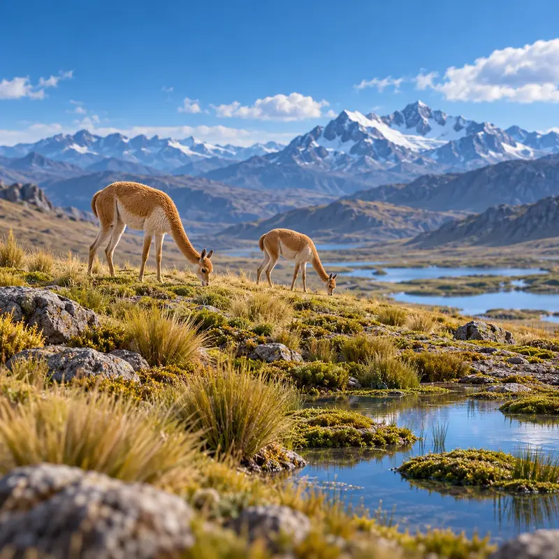
Vicuñas on the puna 
High-Andean flowers 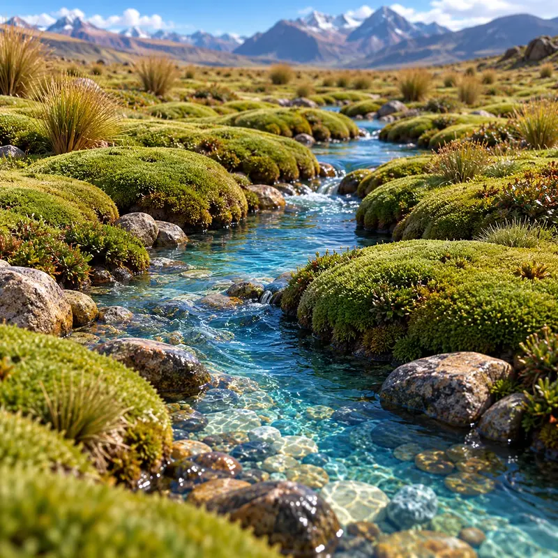
Stream between cushion plants 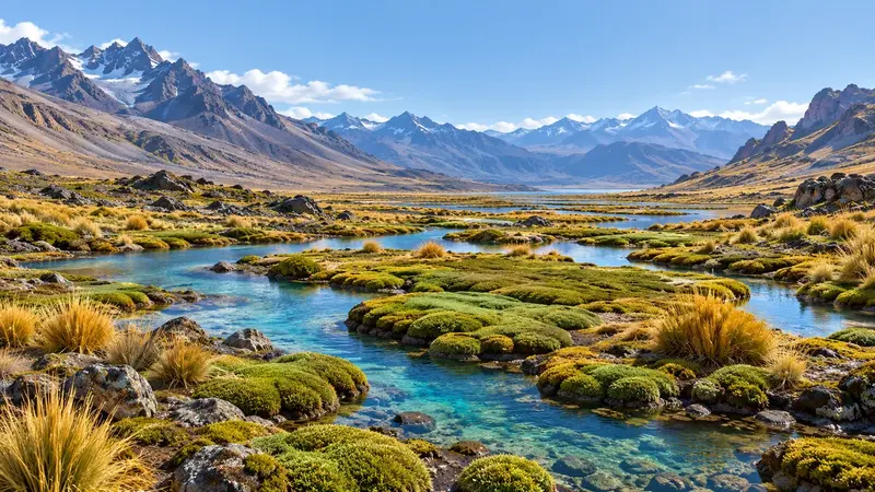
High-Andean valley 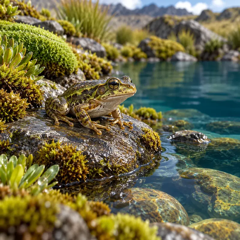
Frog in the wetland 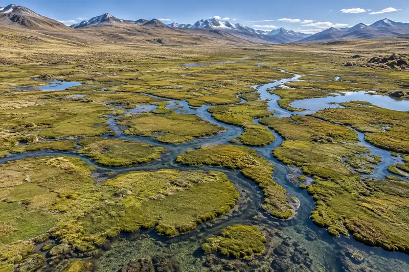
Channels seen from the air 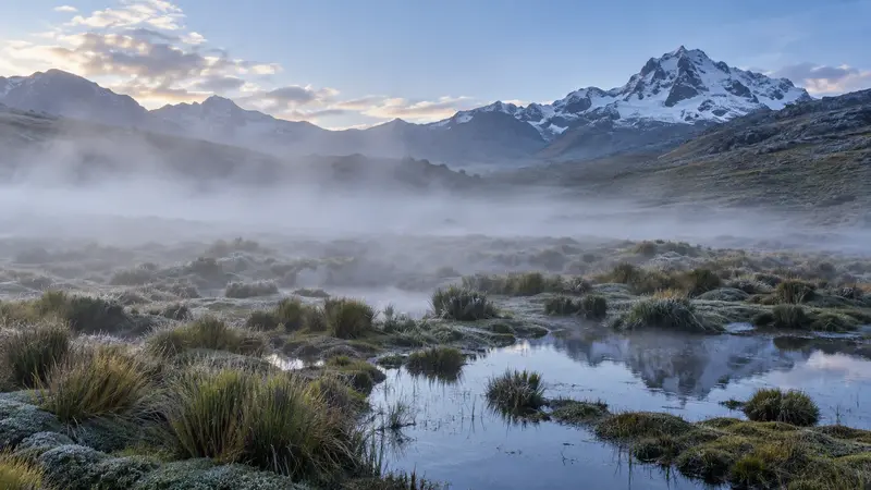
Mist over the bofedal 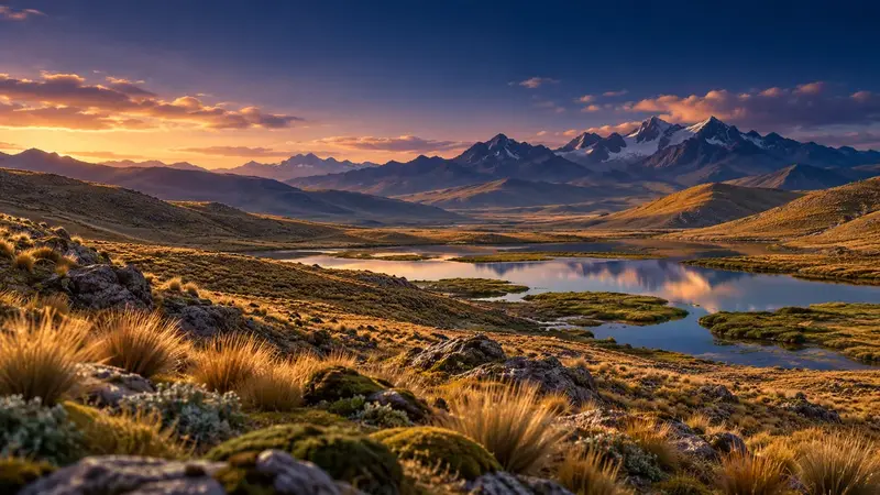
Sunset on the puna 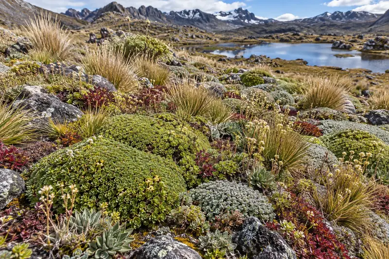
High-Andean vegetation mosaic
How Laguitos Perú works
From diagnosis to follow-up, without losing a single data point
Science, execution and data control within one team. Every claim can be traced to a document, a date or a piece of evidence.
Before intervening, we survey and map the terrain: we define what is protected and where work is carried out.
In heritage work, the DAS and the archaeological baseline identify the area's potential. In ecosystems, the ecological diagnosis delineates bofedales and priority species.
- Cultural heritageDASArchaeological baseline
- High-Andean ecosystemsEnvironmental diagnosis and biological baseline
With the diagnosis, we define which procedure applies before the Ministry of Culture, in what order and with which risks.
In ecosystems, planning relies on GIS: routes, access points, channels and work fronts.
- Cultural heritageCIRASPEATUPA procedures
- High-Andean ecosystemsGIS and environmental cartography
Execution advances in phases, and each work front is reviewed in the field with its IPERC and ATS before starting.
If remains appear, they are recovered through an Archaeological Rescue Project. In bofedales, units are extracted and transported with origin-to-destination traceability.
- Cultural heritagePRA
- High-Andean ecosystemsRestoration of ecosystemsEnvironmental compensationEnvironmental field supervision
Every data point is recorded with date, location, person in charge and method. Each vegetation unit keeps its batch, coordinates, time and condition until its destination.
During soil removal, the PMAR monitors the remains. If monitoring shows deviations, actions are taken and the design is adjusted.
- Cultural heritagePMAR
- High-Andean ecosystemsEnvironmental and biodiversity monitoring
We deliver the documents for each stage. Every claim is backed by a document, a date or evidence.
In ecosystems, we deliver maps, geodatabase and data in GeoJSON, together with the field supervision reports.
- Cultural heritageCIRAS
- High-Andean ecosystemsGIS and environmental cartographyEnvironmental field supervision
Documented feedback loop: alerts → actions → verification → design update.
Our values
- Confidentiality
- Perseverance
- Diligence
- Excellence
- Reliability
- Safety
Blog and resources
Guides for informed decisions
Articles, regulations explained and technical documents for project teams, consultants and authorities.
Arqueología del Perú
Descubrimiento de las Ruinas Incas “Casa Morada” en Huallaga, San Martín
Gestión del patrimonio
La Importancia de la Ética en las Excavaciones Arqueológicas en Perú
Go to the blog Blog posts are in Spanish.
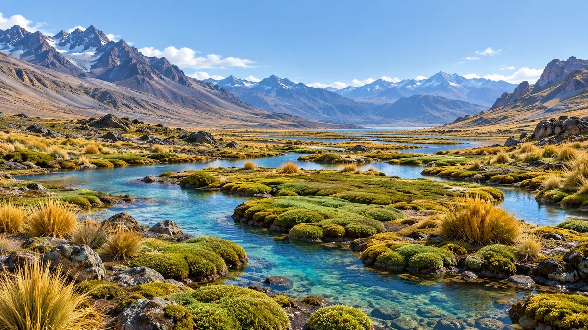
What lives on the land and what lies beneath it, with one team.
Archaeology, heritage and high-Andean ecosystems in a single study route.
Contact
Does your project involve earthmoving or affect a high-Andean ecosystem?
Tell us the stage and the location. We will propose the study route and the team to carry it out.
- Mobile / WhatsApp+51 982 707 015
- Emailadministracion@laguitosperu.com
- AddressAv. CND Torres Kayser A 505
- HoursOffice: Monday to Friday, 8:00 AM to 5:00 PM · Online support: 24 hours