

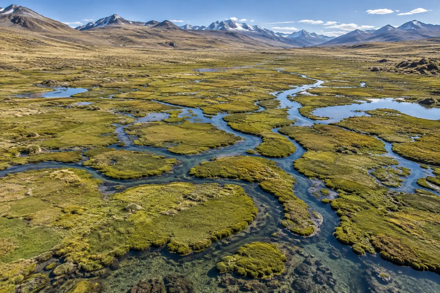
High-Andean ecosystems · 05
SIG GIS and environmental mapping
Maps at 1:1000 scale from drone orthophoto, with UTM vertices, geodatabase and delivery in GeoJSON. At every stage: delimit, plan and audit.
- Drone orthophoto
- Scale 1:1000
- GeoJSON and geodatabase
What it is
What it is
Maps at 1:1000 scale from drone orthophoto, with UTM vertices, geodatabase and delivery in GeoJSON.
Read more
The mapping is validated in the field and its data go through quality control (QA/QC) and version control.
Specialty: bofedales
The working cartographic base is a drone orthophoto at 1:1000 scale, in UTM-WGS84 coordinates.
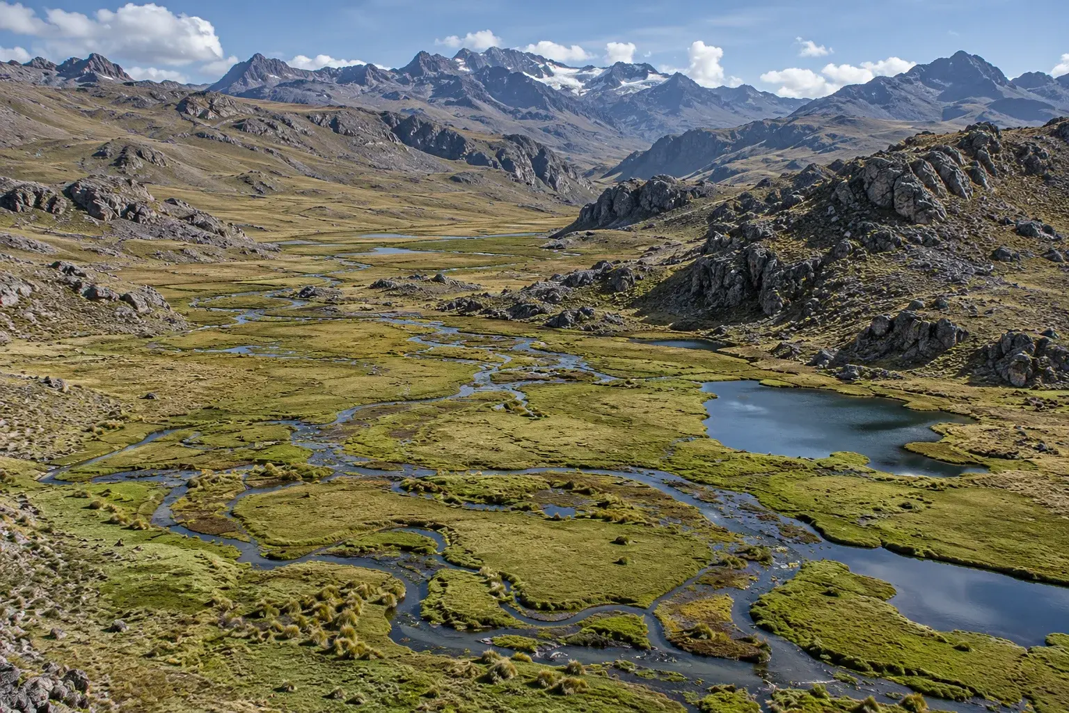
At a glance
When
When your project needs it
- 01At every stage: delimit, plan and audit.
- 02To locate routes, access points, channels and work fronts.
How we work
How we work, step by step
Choose a step to see what we do in it.
Orthophoto
We start from a drone orthophoto as the cartographic base.
Scale and coordinates
We work at 1:1000 scale in UTM-WGS84 coordinates.
Validation
We validate the mapping in the field.
Quality
We review data quality (QA/QC) and control its versions.
Delivery
We deliver the maps, the geodatabase and the data in GeoJSON.
What we deliver
What Laguitos Perú delivers
- Maps of delimitation of impact areas and compensation areas.
- Mapping of vegetation and species.
- Geodatabase with version control and data in GeoJSON.
FAQ
Frequently asked questions
In what format do you deliver the data?
We deliver the maps, a geodatabase with version control and the data in GeoJSON, in UTM-WGS84 coordinates.
 Environmental diagnosis and biological baseline
 Environmental offsetting
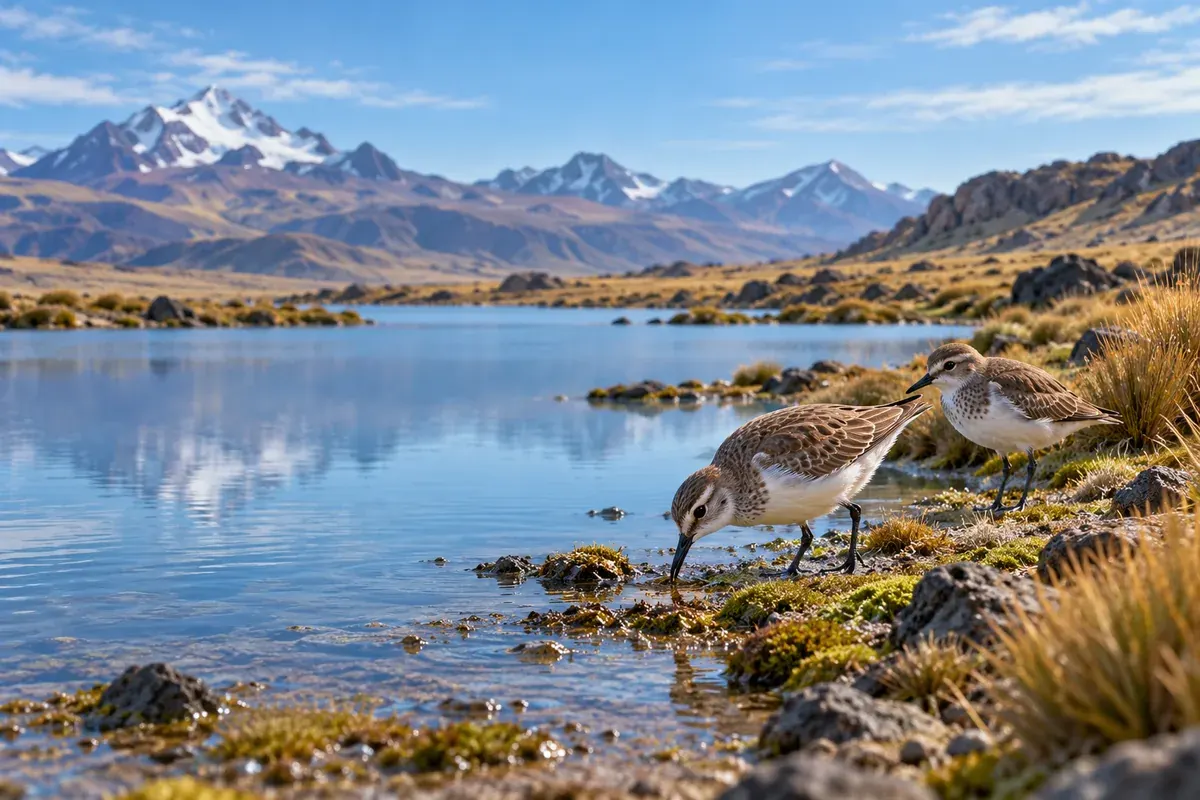 Environmental and biodiversity monitoring
Contact
Does your project affect a peatland or a fragile ecosystem?
Tell us the stage and the location. We will propose the study route and the team to carry it out.
- Mobile / WhatsApp+51 982 707 015
- Emailadministracion@laguitosperu.com
- AddressAv. CND Torres Kayser A 505
- HoursOffice: Monday to Friday, 8:00 AM to 5:00 PM · Online support: 24 hours