

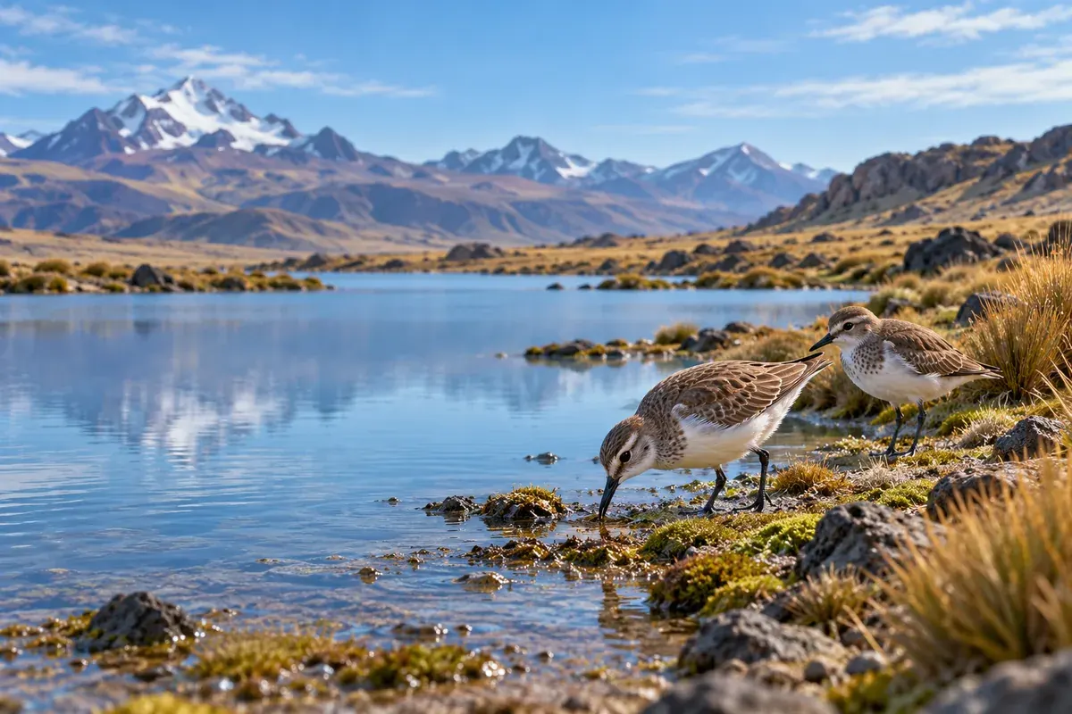
High-Andean ecosystems · 04
Environmental and biodiversity monitoring
We measure the result after intervening: vegetation, water, soil and fauna, with each datum recorded with date, location, responsible person and method.
- After intervening
- Traceable data
- Specialty: bofedales (high-Andean peatlands)
What it is
What it is
Monitoring of vegetation, hydrology, soil and fauna after intervening. Each datum is recorded with date, location, responsible person and method.
Read more
Indicators are compared in time series to decide with data and adjust management.
Specialty: bofedales
The bofedal has low resilience: its recovery is slow and it must be monitored. That is why indicators are compared in time series.
At a glance
When
When your project needs it
- 01After intervening, to measure the result.
- 02To decide with data and adjust management.
How we work
How we work, step by step
Choose a step to see what we do in it.
Baseline
Baseline and reference points.
Design
Design of the monitoring program.
Field and laboratory
Field and laboratory work.
Quality
Data quality control.
Analysis and decisions
Temporal and spatial analysis, and decisions with adaptive management.
The indicators we track
- Vegetation
Survival, cover, vigor and composition - Hydrology
Water table, moisture, saturation and discharge - Soil
pH, organic matter, compaction and erosion - Fauna
Richness, abundance and recolonization
What we deliver
What Laguitos Perú delivers
- Indicators of vegetation, hydrology, soil and fauna.
- Alerts and management actions, with their subsequent verification.
FAQ
Frequently asked questions
What indicators do you measure?
Vegetation (survival, cover, vigor and composition), hydrology (water table, moisture, saturation and discharge), soil (pH, organic matter, compaction and erosion) and fauna (richness, abundance and recolonization).
 Environmental offsetting
 Ecosystem restoration
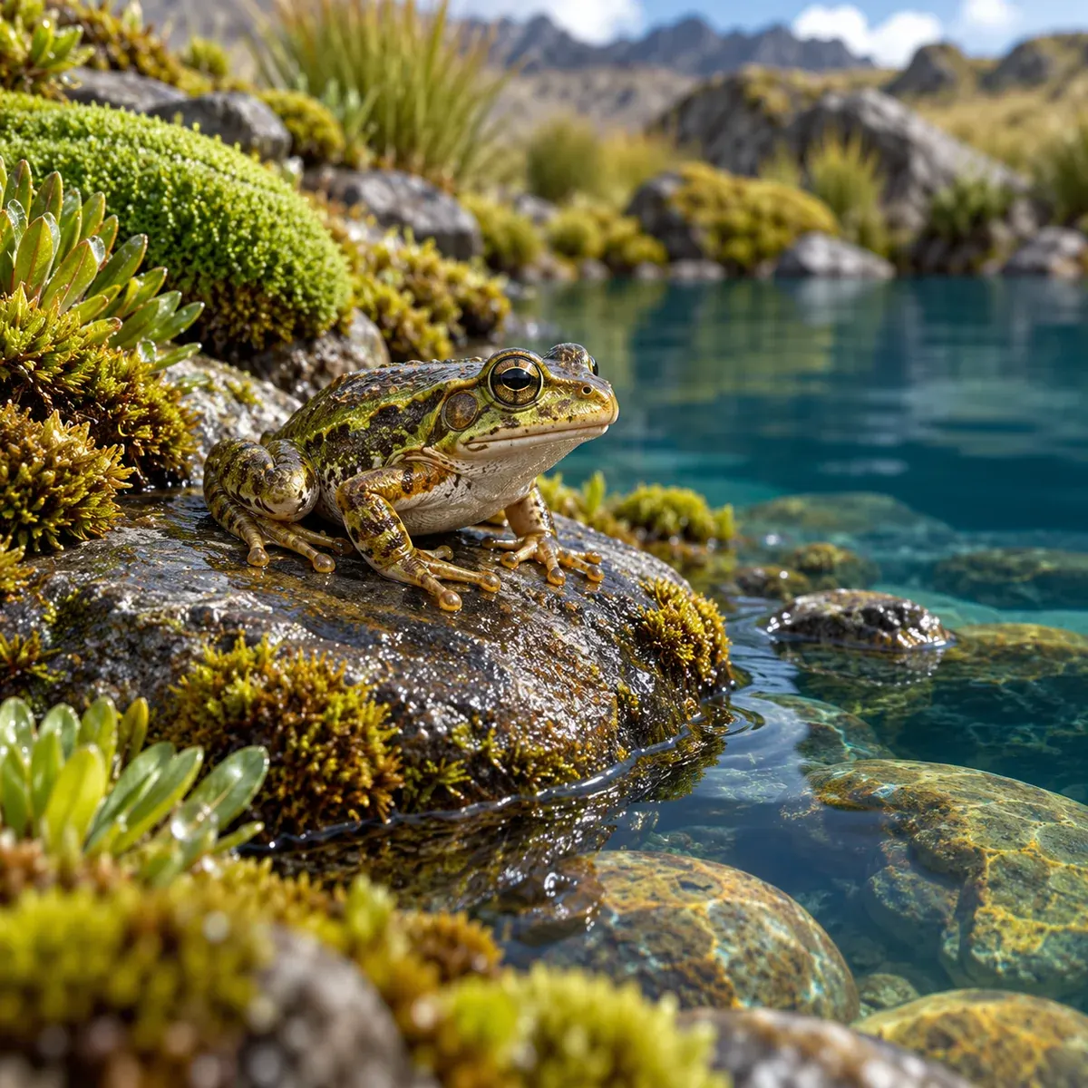 Field environmental supervision
Contact
Does your project affect a peatland or a fragile ecosystem?
Tell us the stage and the location. We will propose the study route and the team to carry it out.
- Mobile / WhatsApp+51 982 707 015
- Emailadministracion@laguitosperu.com
- AddressAv. CND Torres Kayser A 505
- HoursOffice: Monday to Friday, 8:00 AM to 5:00 PM · Online support: 24 hours